
At geo informatic, we specialize in delivering end-to-end Geographic Information System solutions that empower decision-makers in government, private, and development sectors.
Get Free Quote todayYour Trusted Partner for Advanced GIS Solutions.
With a team of GIS professionals, surveyors & remote sensing, we combine technical precision, on-ground experience, and latest geospatial technologies
Read MoreImplemented through advanced technology like GIS, Geospatial, cadastral mapping enhances precise record-keeping and data accessibility.
Read MoreAt geo informatic, our job is to make complex data useful. Our mapping and spatial analysis services are built to support your goals and needs
Read MoreWe provide end-to-end engineering services designed to support infrastructure, construction, and development project at every stage.
Read MoreWe offer specialized MATLAB solutions for data analysis, modeling, & algorithm development across a range of engineering and scientific fields.
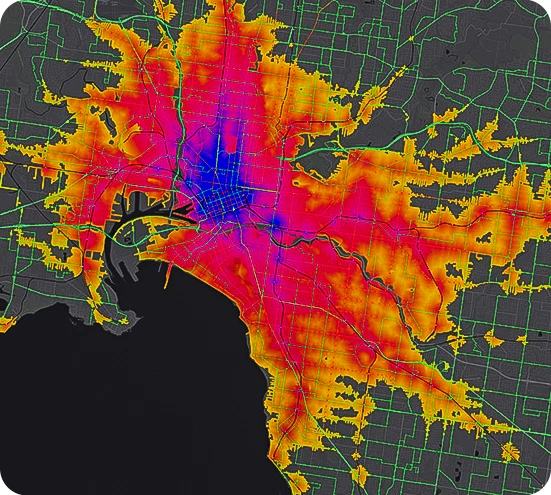
Read MoreGeo Informatic provides advanced GIS solutions to optimize transport networks, monitor fleet movements, and improve delivery efficiency.
Geo Informatic supports law firms, landowners, and government bodies in resolving land conflicts through boundary mapping, and property overlays.
Our services include infrastructure mapping, outage management systems, vegetation encroachment analysis, & site suitability modeling
We offer tailored solutions such as vegetation analysis, improving agricultural productivity, monitoring environmental factors & climate pattern studies.
At Geo Informatic, we empower real estate developers, planners, and local governments with location-based tools to make investment decisions.
Our services include 3D subsurface modeling, ore deposit mapping, and infrastructure planning for roads, pits, and tailings.
Our experts are ready to guide you in finding the perfect GIS solutions for your needs. Let’s discuss your project today!
1
You give us a pilot project – set us a task, provide samples, templates, instructions.
2
We carry out this pilot project for FREE, according to all your instructions.
3
You evaluate our work, we agree on the cost of further work
4
We sign a cooperation agreement and NDA, after which our team gets to work.

UrbanAcres, LLC
I had the pleasure of working with Sir Tauqeer on multiple projects together. Throughout our working relationship, I found Tauqeer to be a great leader with a positive attitude and innovative ideas.

H&H Legal Partners
My firm has been extremely pleased to be able to work with Geo Informatic Services, and their understanding of our field of work greatly enhances the quality of their work and the relationship.
SavvyMarket
Geo Informatic Services offers professional and innovative GIS solutions for the Water and Wastewater Operations Division of Public Works. They constantly improves the burgeoning citywide GIS applications.
Partner with Geo Informatic to optimize your geospatial capabilities and maximize the value of your GIS data.
Geo Informatic provides comprehensive GIS software development services, enabling businesses to capture, process, and analyze geospatial data for informed decision-making. Our expertise covers custom GIS application development, 3D GIS modeling, GIS consulting and training, AI-powered geospatial analytics, and AR/VR GIS solutions.
Geo informatic services have a diverse range of software options available, including both commercial and open-source platforms. Commonly used GIS software includes –
These software tools provide functionalities for spatial analysis, mapping, data management, and visualization. The choice of GIS software depends on individual needs, budget constraints, and user preferences.
We create solutions for businesses looking to enhance location intelligence, streamline logistics, or leverage spatial analytics. Our applications seamlessly integrate with existing enterprise systems and are compatible with leading GIS platforms such as ESRI ArcGIS, QGIS, Google Maps, Bing Maps, HERE, and Mapbox.
Our experts are ready to guide you in finding the perfect GIS solutions for your needs. Let’s discuss your project today