Welcome to Geo-Informatic
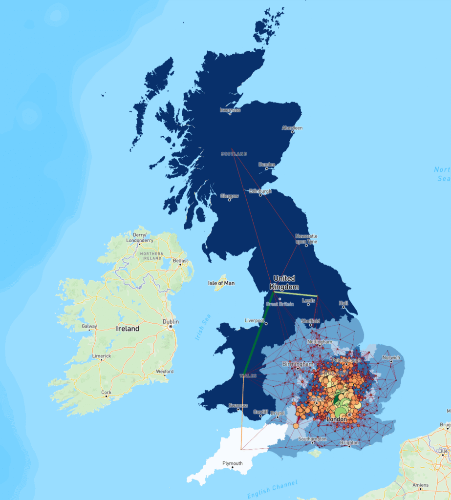
At Geo Informatics Services, we specialize in providing high-quality Geographic Information System (GIS) solutions tailored to meet the evolving needs of modern industries.
Our team consists of experienced GIS professionals, analysts, and engineers dedicated to delivering reliable, cost-effective, and innovative geospatial solutions.
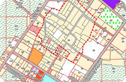
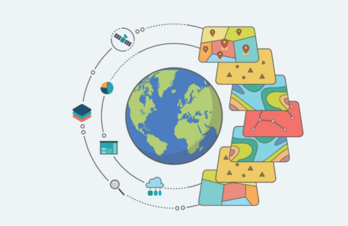
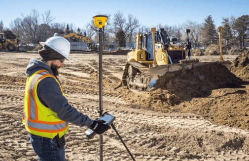
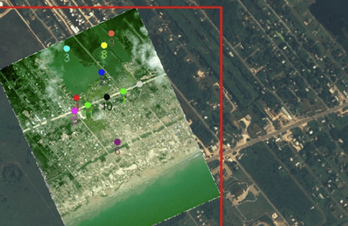
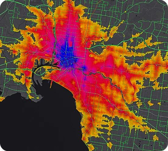
From mapping and surveying to spatial analysis and data visualization, we bring your data to life through powerful geospatial intelligence.