
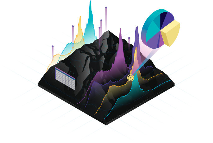
Our GIS & Geo Services division is powered by a tight-knit team of engineers, GIS specialists, and geologists with deep expertise in modern project management and advanced geospatial techniques. We offer comprehensive solutions across a wide array of sectors, including:
Urban Planning
Telecom & Power
Natural Resource Management
Watershed Management
Site Selection
Facility Mapping
We also proudly serve government agencies, non-profit organizations, private landowners, and small businesses, helping them harness the full power of modern geospatial tools. By integrating cartography, spatial databases, data analysis, and natural resource intelligence, we craft efficient, elegant solutions for complex mapping challenges.
Geological Mapping
Mineral Investigation
Resource Estimation & Calculation
Geospatial, Geostatistical, Hydrological & Hydrogeological Mapping
Facility Mapping
Surface Analysis (Drainage, Slope, Aspect, Interpolation)
Proximity & Density Analysis
Satellite Imagery Analysis and Processing
Watershed Management & Channel Migration Studies
Network Analysis (Drive Time, Flow Accumulation, Geolocation, Service Areas)
Flood Monitoring & Risk Assessment
Disaster Management & Emergency Planning
3D Terrain and Elevation Modelling
Topographic Surveying
Field Surveys (Socio-economic, Environmental, Spatial)
Cartographic Design and Thematic Mapping
Satellite Image Processing & Visualization
Mapping of Variable Distributions, Interactions, and Patterns
Geological Maps
Contour Maps
Relief Maps
Fence Diagrams
Correlation Charts
3D Geological Models
Isopach and Isochore Maps
Anomaly Detection Maps
Columnar Sections (Drilled Core Logs)
Lithologs (Rock Stratigraphy Logs)
We are committed to delivering precision, clarity, and insight in every project regardless of scale or complexity. Whether you are managing urban infrastructure or analyzing watershed dynamics, our team is here to support your geospatial needs with unmatched technical capability